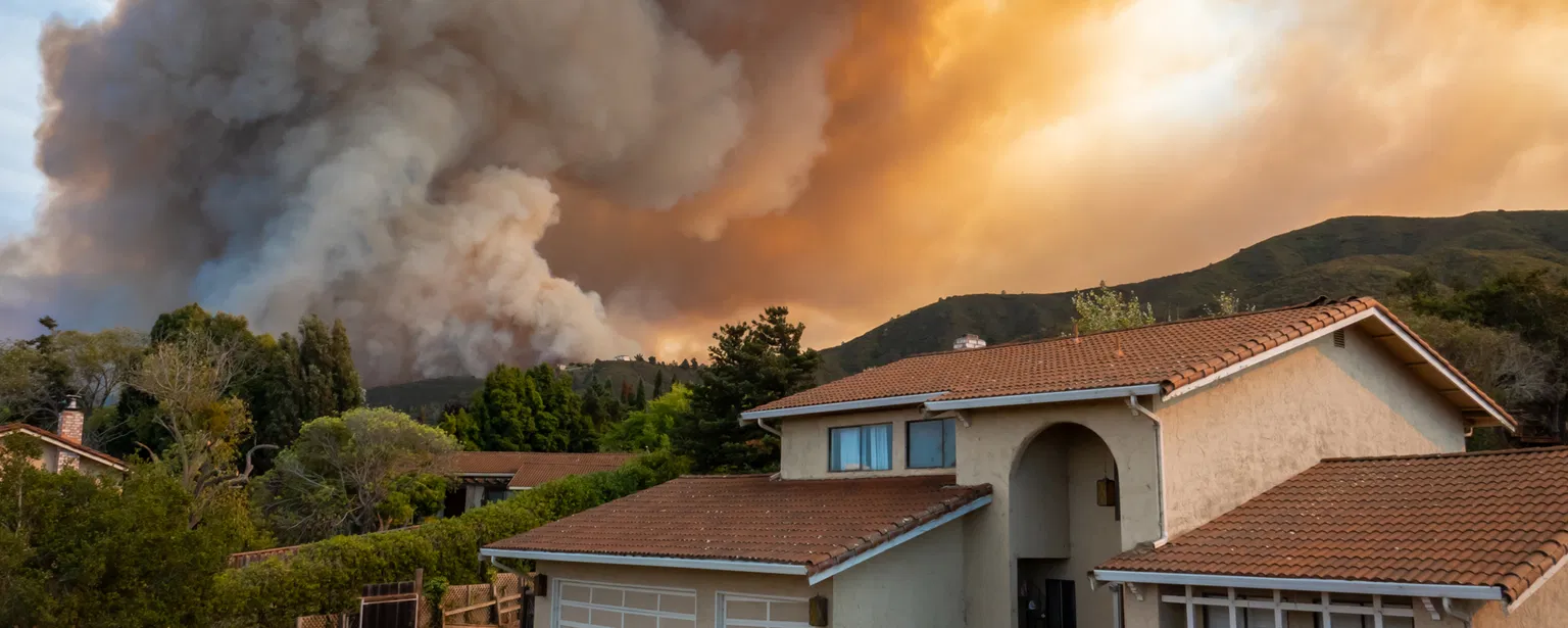
When residents of Spokane and Eastern Washington see smoke on the horizon or receive an evacuation alert on their phones, one of the first things many do is search for a fire map. Understanding where a wildfire is burning, how fast it is spreading, and what the different colors and zones on those maps actually mean can be the difference between a safe evacuation and a dangerous situation. But beyond reading the map, knowing how wildfires start in the first place — and what you can do before, during, and after one — is knowledge that every person living in fire-prone regions should have.
According to the National Park Service, nearly 85% of wildland fires in the United States are caused by humans. That staggering statistic means the vast majority of wildfires are preventable. The remaining 15% are sparked by natural causes, primarily lightning strikes.
Wildfires are defined as unplanned fires that burn out of control in natural areas like forests, grasslands, or prairies, as noted by Ready.gov, FEMA's public preparedness website. These fires spread quickly and can devastate wildlife, natural areas, and entire communities in a matter of hours.
What Actually Starts a Wildfire? The Human and Natural Causes
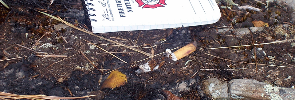
Human-caused wildfires result from a variety of everyday activities gone wrong. Campfires left unattended, the burning of debris that escapes containment, equipment use and malfunctions — such as sparks from vehicles or power tools — negligently discarded cigarettes, and intentional acts of arson all contribute to the 85% figure cited by the NPS. In dry, windy conditions, a single spark from a lawnmower blade striking a rock can ignite a blaze that consumes thousands of acres.
On the natural side, lightning is the primary culprit. The NPS explains that lightning comes in two forms: cold lightning and hot lightning. Cold lightning carries intense electrical current but lasts only briefly. Hot lightning, by contrast, has lower voltage but persists for a longer duration. Fires are almost always started by unusually long-lasting hot lightning bolts, which deliver sustained heat to dry vegetation.
How to Read a Wildfire Map: Making Sense of the Data
When a wildfire breaks out near Spokane — or anywhere in the country — several online tools become essential for tracking its progress. The most widely used national platform is InciWeb (inciweb.wildfire.gov), the federal Incident Information System managed by the National Interagency Fire Center. InciWeb provides detailed information on large wildfires, including fire perimeter maps, containment percentages, evacuation orders, and official updates from public information officers.
The Washington State Department of Natural Resources also maintains an active fire dashboard throughout fire season, showing up-to-date information on wildfires affecting Washington state. The dashboard displays fire locations on an interactive map — clicking on individual icons reveals the fire name, size in acres, containment status, and the responding agency.
When reading any wildfire map, here are the key elements to look for: Fire perimeter — the outline showing the current extent of the burned area, typically displayed in red. Containment percentage — how much of the fire's perimeter has a control line that firefighters believe will hold. A fire at 0% containment is completely uncontained; one at 100% is fully encircled but may still be burning within. Evacuation zones — typically marked as Level 1 ("Be Ready"), Level 2 ("Be Set"), and Level 3 ("Go Now"), these are issued by local sheriff's departments and emergency management offices, not the fire agencies themselves.
Fire Weather and Red Flag Warnings: What They Mean
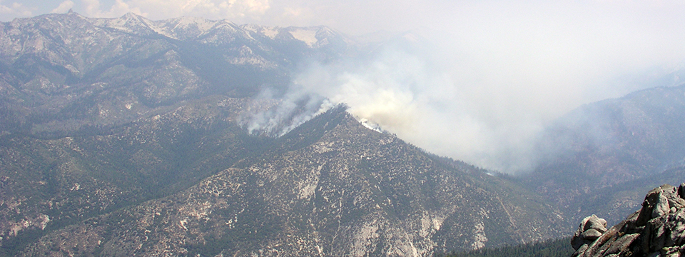
The National Weather Service plays a critical role in wildfire prediction and safety. When meteorologists issue a Red Flag Warning, it means that weather conditions are ideal for wildfire ignition and rapid spread. These warnings are based on a combination of low relative humidity, strong winds, dry fuels, and the possibility of dry lightning strikes.
The NWS Storm Prediction Center also publishes daily Fire Weather Outlooks that categorize fire risk across the country on a scale from "Critical" to "Extremely Critical." Residents in fire-prone areas like Eastern Washington should pay attention to these outlooks, especially during the summer and early fall months when conditions are driest.
Another key resource is the AirNow Fire and Smoke Map (fire.airnow.gov), which shows real-time air quality data and smoke plume movement. The CDC warns that wildfire smoke can travel hundreds of miles from its source and can make anyone sick. Children, pregnant people, and individuals with asthma, COPD, heart disease, or diabetes face the highest risk.
Essential Wildfire Safety: Before, During, and After
Preparedness experts at Ready.gov and the CDC emphasize that advance planning dramatically improves outcomes during a fast-moving wildfire. Before fire season, create a fire-resistant zone extending at least 30 feet from your home by clearing leaves, debris, and flammable materials. Use fire-resistant building materials when renovating. Have several ways to receive emergency alerts, including the FEMA app and local community alert systems. Prepare a go-bag with essentials, including an N95 mask for smoke protection, and make sure everyone in your household knows the evacuation plan — including for pets.
During a wildfire, evacuate immediately when authorities tell you to do so. Check the FEMA app or the Red Cross Emergency app for open shelter locations. If trapped, call 911 and give your exact location, but understand that emergency response may be delayed. To protect against smoke, choose a room that can be closed off from outside air and set up a portable air cleaner. Set central air conditioning to recirculate mode and close the outdoor intake damper.
After a wildfire, do not return home until officials declare it safe. Watch for hot ash, charred trees, smoldering debris, and live embers — the ground can contain hidden heat pockets capable of causing burns or reigniting. Wear long sleeves, long pants, work gloves, and sturdy shoes during cleanup. Document all property damage with photographs for insurance purposes, and use text messages or social media rather than phone calls to let family know you are safe, since phone lines are often overwhelmed after a disaster.
Why Understanding Wildfires Matters Now More Than Ever
As more people build homes in the wildland-urban interface — the zone where human development meets undeveloped wildland — the risk to lives and property continues to grow. The National Interagency Fire Center tracks wildfire statistics year over year, and the trend shows increasingly destructive fire seasons across the western United States.
Wildfire investigators study every major fire to understand its cause, because that knowledge directly shapes prevention strategies. When agencies know that equipment sparks or unattended campfires are driving ignitions in a particular region, they can target public education campaigns accordingly. Understanding how fires start, how to track them, and how to respond is not just useful information — it is a survival skill for millions of Americans living in fire country.
Key Takeaways: What to Remember About Wildfire Safety
- Nearly 85% of wildfires are human-caused — meaning most are preventable through careful behavior with campfires, equipment, and debris burning.
- Hot lightning (longer-duration strikes) is the primary natural ignition source for wildfires.
- InciWeb, state fire dashboards, and the AirNow Fire and Smoke Map are the most reliable tools for tracking active fires and smoke conditions.
- A Red Flag Warning from the National Weather Service means conditions are ripe for rapid fire spread — avoid any activity that could create sparks.
- Create a 30-foot defensible space around your home, have an evacuation plan, and keep an N95 mask in your go-bag.
- After a fire, do not return until authorities give the all-clear, and beware of hidden heat pockets in the ground.